Photographer(s):Admin(c) (c) Unspecified
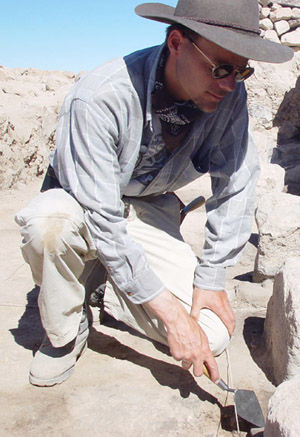
Field Museum anthropologists work to further the scientific understanding of human evolution, culture, society, and diversity through their field and collections based research. Archaeological Science is the study of the human past through modern technology. Field Museum archaeologists conduct survey and excavation projects around the globe and research the Field Museum's own rich archaeological collections.
Anthropology also houses the Elemental Analysis Facility (EAF), which contains instrumentation that allows for the rapid compositional analysis of materials collected during excavations and field work conducted by our curators. Additionally, these methods of compositional analysis are revealing new information about collections that have been housed at the museum for over a century in some cases.
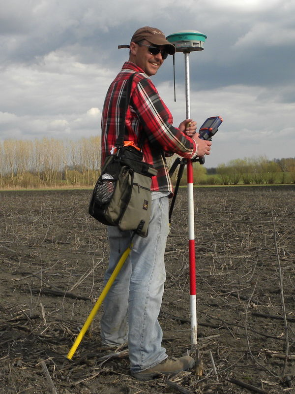
The Anthropology Spatial Analysis Laboratory is outfitted for advanced technological prospection and spatial analysis of archaeological remains using GIS, satellite imaging, and ground based geophysics. Resources include workstations running ArcGIS 10 and Agfasoft Photoscan for site based, regional, continental, and global geographic information systems applications. Field mapping equipment include a Phantom Vision 2 drone, a TOPCON total station and SMI data collector, as well as several WAAS and differential capable GPS units. Ground based geophysics resources include Mala Geoscience X3M instrumentation for ground penetrating radar and a GEM Systems Overhauser gradient magnetometer, as well as analytical software (ReflexW). The lab is directed by Dr. Ryan Williams.
Related content,People
Current Staff
Showing 2 of 2